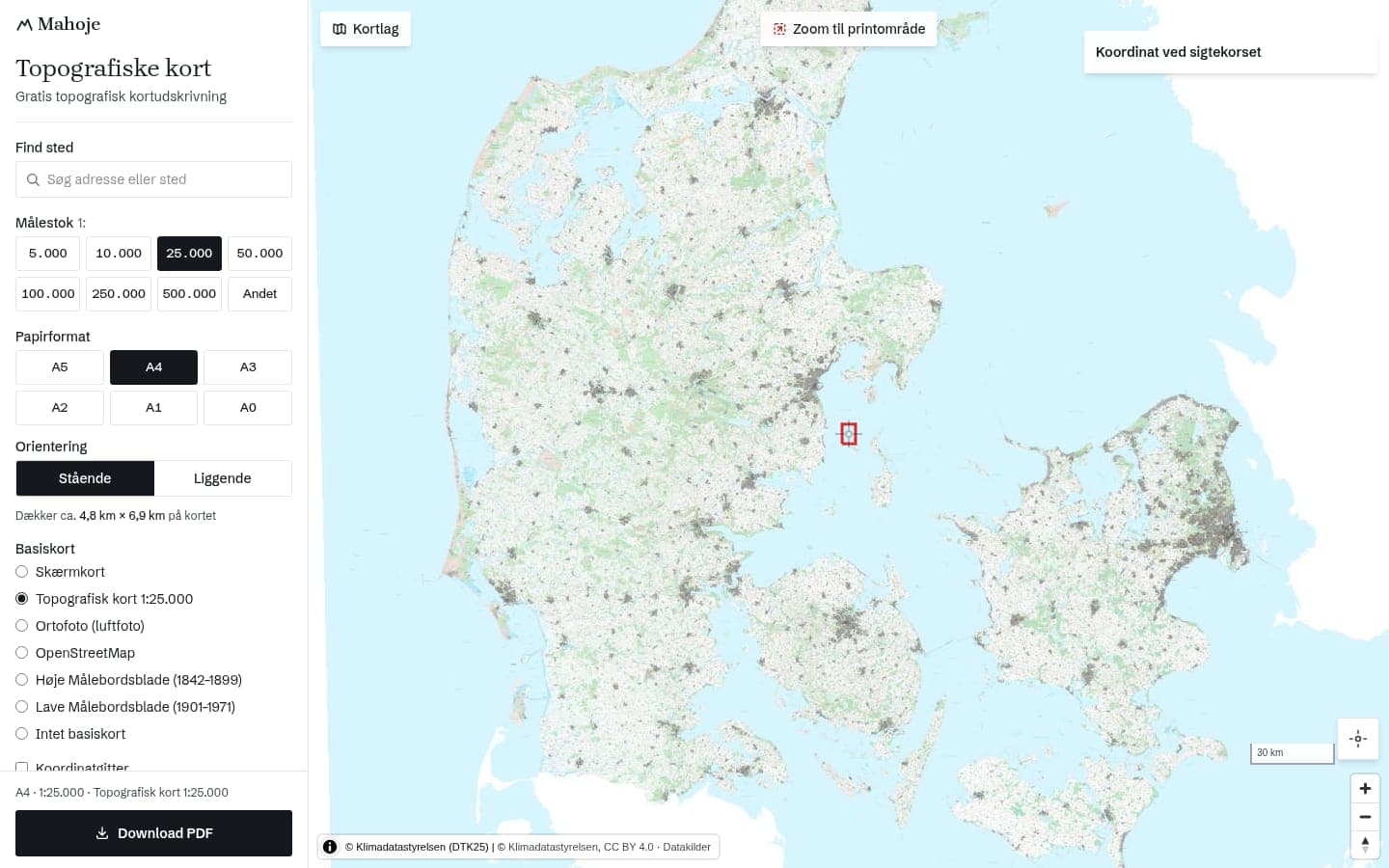
Kort: topographic maps for print
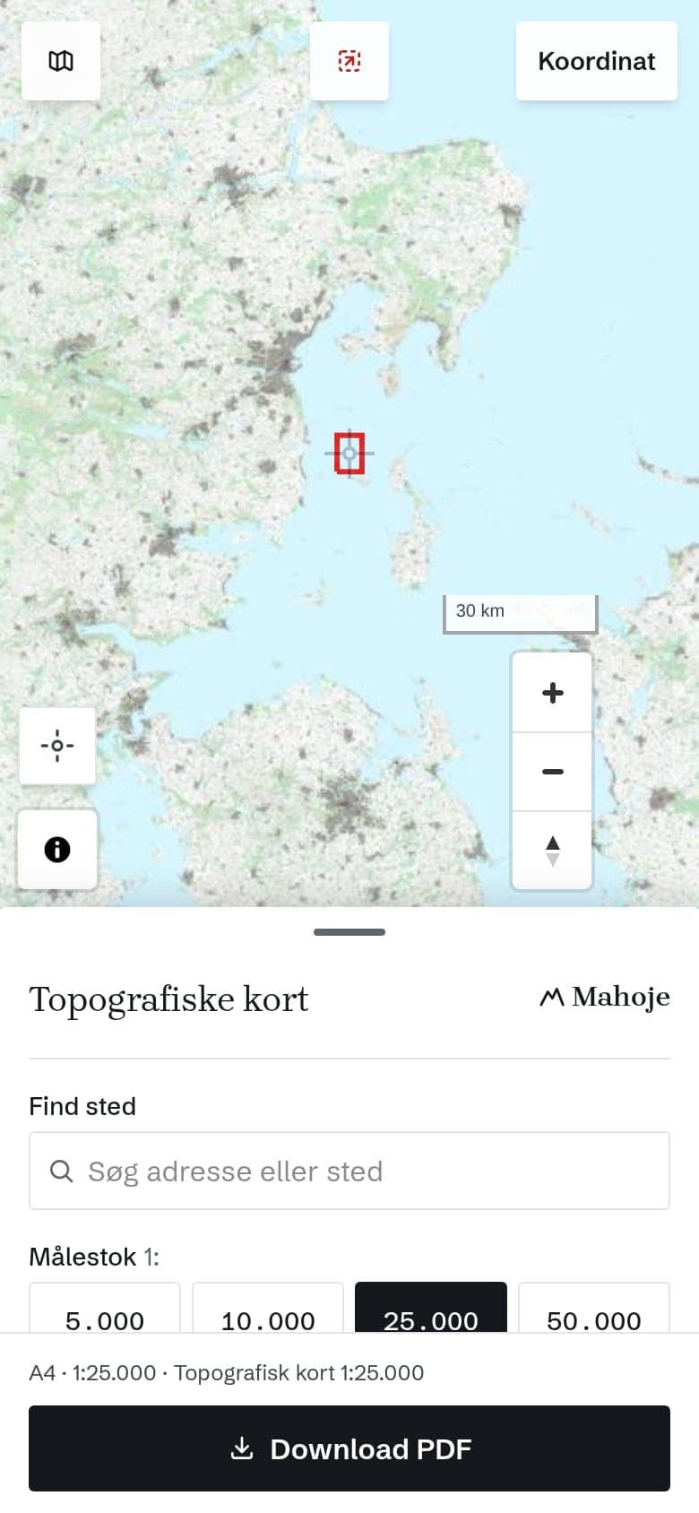
Kort is a free web app where you pick a place, a scale and a paper size and download the map as a PDF. There is no login, no tracking and no cookies. I built it because I am a scout myself and missed a good Danish way to print a proper map for a hike or an orienteering exercise. The app is in Danish.
Open Kort. The code is public on GitHub.
What you can do
- Maps and styles: Danish topographic maps from Dataforsyningen in four styles, and base maps such as aerial photo, OpenStreetMap and the historical survey sheets
- Scale and paper: from 1:5,000 to 1:500,000 and paper from A5 to A0 (A1 and A0 as one large sheet)
- Coordinate grid: UTM with a selectable grid size, and MGRS. MGRS was added because a user in the Danish Home Guard asked for it
- Overlays: contour lines, hillshade and cadastral boundaries
- Your own data: GPX, GeoJSON and KML can be loaded and printed too
- Several sheets: large areas are split over several pages with overlap
- As an app: it can be installed as a PWA
Place names without DAWA
Place name search runs against a snapshot of Danske Stednavne (the Danish place names register) that I keep myself. It holds 144,711 names. I chose that because DAWA closed on 1 October 2026, and search had to keep working.
For others
Kort also runs in a branded edition for Solaris.
If you want a tool built for you, you can read about SaaS and web app development.